|
| *****SWAAG_ID***** | 677 |
| Date Entered | 14/01/2013 |
| Updated on | 08/03/2014 |
| Recorded by | Tim Laurie |
| Category | Mining Related |
| Record Type | Archaeology |
| Site Access | Public Footpath |
| Record Date | 12/01/2013 |
| Location | Muker Side. Above Straw Beck. |
| Civil Parish | Muker |
| Brit. National Grid | SD 90283 97726 |
| Altitude | 276m |
| Geology | Below outcrop of The Hardraw Scar Limestone. |
| Record Name | Muker Side. Above Straw Beck. Western of two adjacent ruined lime kilns. |
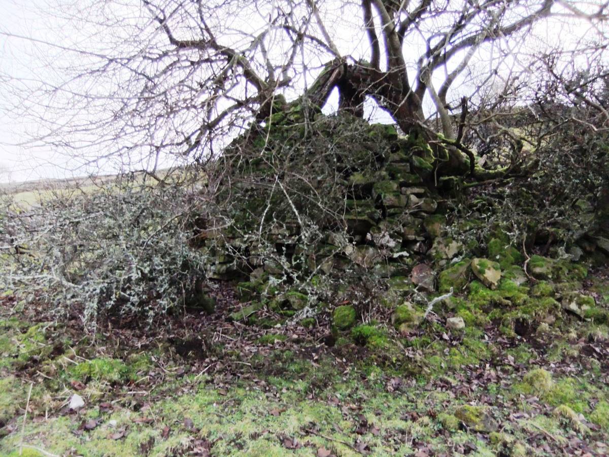
| Record Description | Ruined lime kiln at outcrop of the Hardraw Scar Limestone, the western of two similar kilns here, with ancient sallow growing from the top of the kiln.Limestone was quarried from outcrop in the stream side above the kiln. Ancient sallow grows from the top of the kiln. |
| Dimensions | See photos |
| Image 1 ID | 3961 Click image to enlarge |
| Image 1 Description | The western kiln masked behind an ancient sallow. | 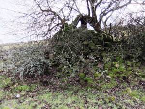 |
| Image 2 ID | 3962 Click image to enlarge |
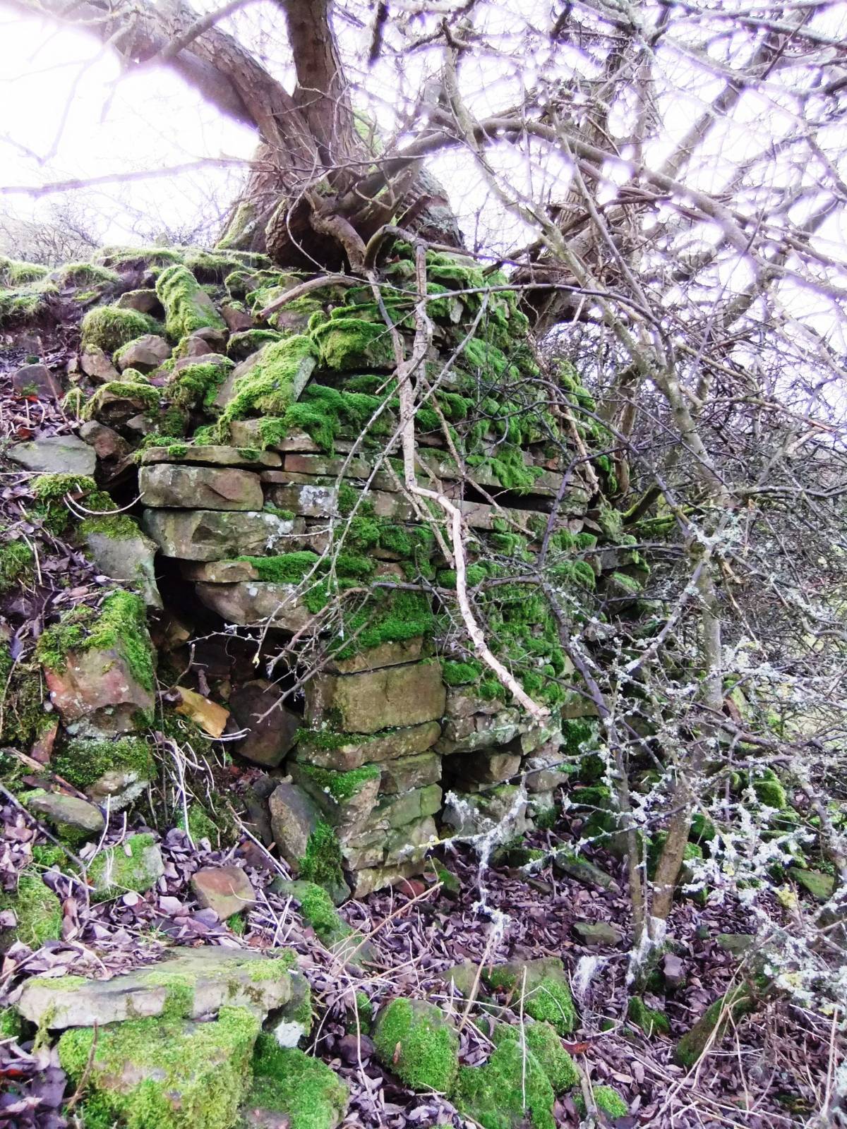
| Image 2 Description | Front of kiln. Detail. | 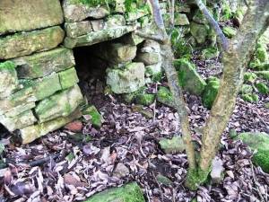 |
| Image 3 ID | 3963 Click image to enlarge |
| Image 3 Description | Front of kiln. Detail. | 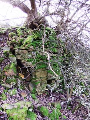 |
| Image 4 ID | 3964 Click image to enlarge |
| Image 4 Description | Side of kiln. Detail. | 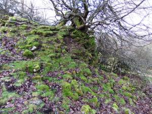 |
| Image 5 ID | 3965 Click image to enlarge |
| Image 5 Description | Top of kiln. Detail with sallow. | 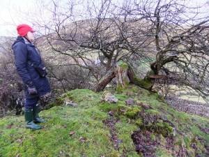 |